Registrations Closed
Mapping Drone Bootcamp - Master Class
America/Chicago
Add to calendar:


Want to digitize your fields and take your precision ag program to the next level?
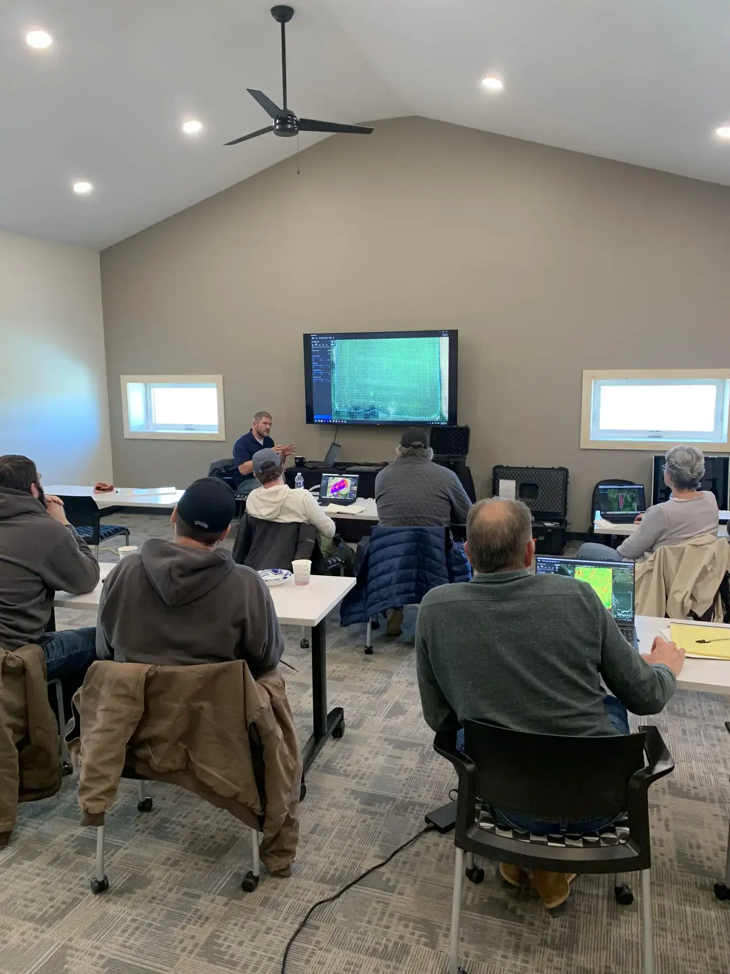
This class will offer a general instruction and training of the PIX4Dfields software. All applications will be centered around farm & business use cases. The class is hands-on with equipment and takes place at the Madison County Extension Office in Norfolk, Nebraska.
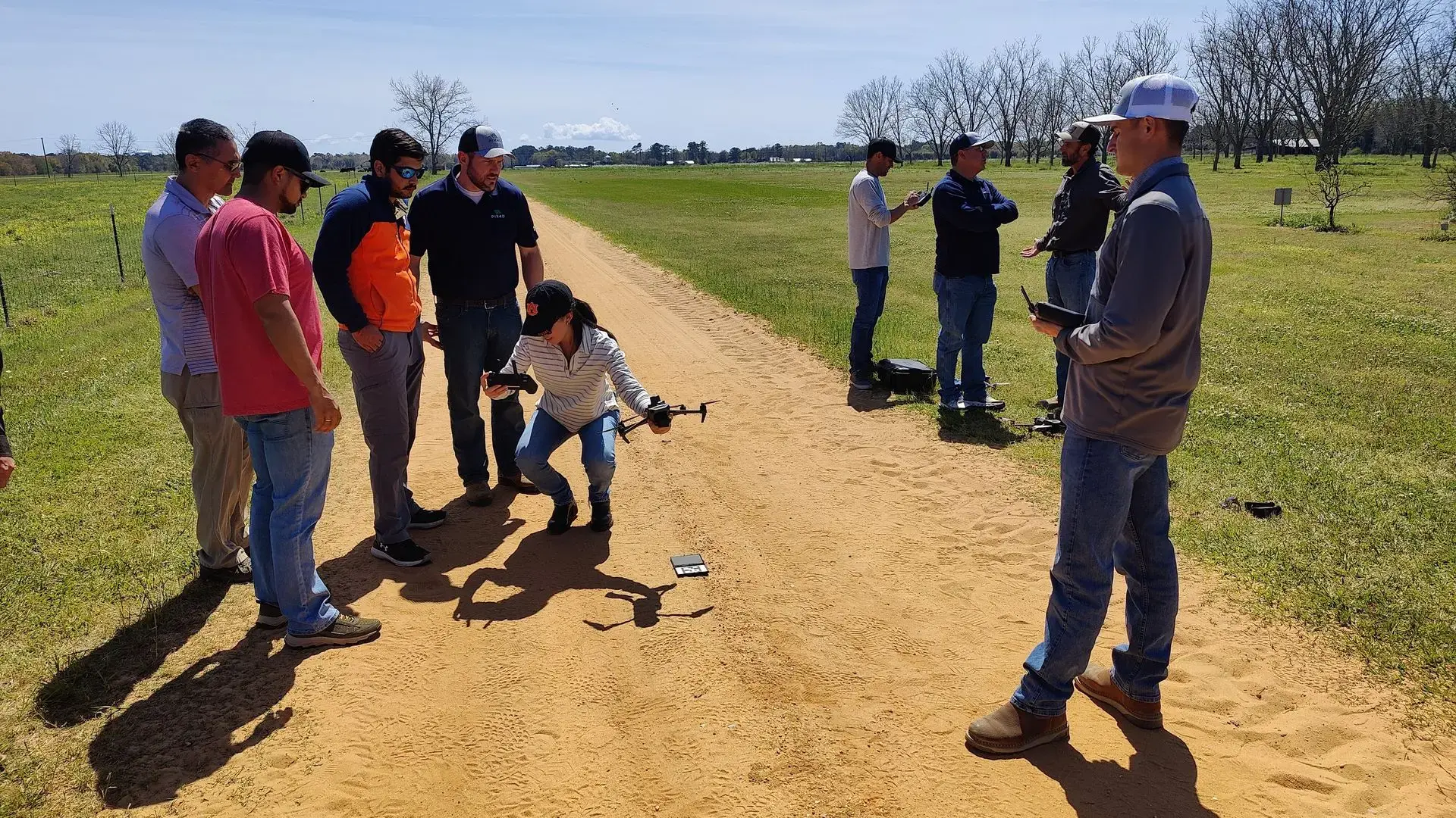
Join our expert team for an immersive workshop designed to optimize your farming practices from boundary & obstacle mapping to precision weeds detection with cutting-edge drone technology and PIX4Dfields software.
Ready to Transform Your Farm? This Workshop is for You!
Perfect for farmers, agronomists, and ag professionals who want to:
- Digitize fields to boost crop yields
- Master drone and satellite imagery for crop health insights
- Explore mapping drones and PIX4Dfields software
- Take precision agriculture to the next level
What You’ll Master by the End of the Day
Leave this workshop with the skills to:
- Navigate legal requirements for agricultural drones
- Choose the right drone for your data collection needs
- Map fields on-site, no internet required
- Analyze satellite data for historical and real-time insights
- Identify crop issues with tools like the Magic Tool
- Create Variable Rate and Targeted Application Maps
- Share professional scouting reports with ease
- Integrate data with John Deere Operations and spray drones
A Day Packed with Learning and Fun
Here’s what’s included:
- Light breakfast to kick off your day
- Delicious lunch to keep you fueled
- Hands-on practice—bring your laptop (we will have some drones on hand)
- Dress comfortably for indoor sessions and outdoor fieldwork
Got questions?
We've got answers.
No—all levels welcome!
We’ll have some resources to share equipment for the day.
Optimize inputs, monitor crops, and increase yields with precision tools.