MAPPING DRONE
BOOTCAMP
1 Day Class
Digitize your fields and take your precision ag journey to the next level.
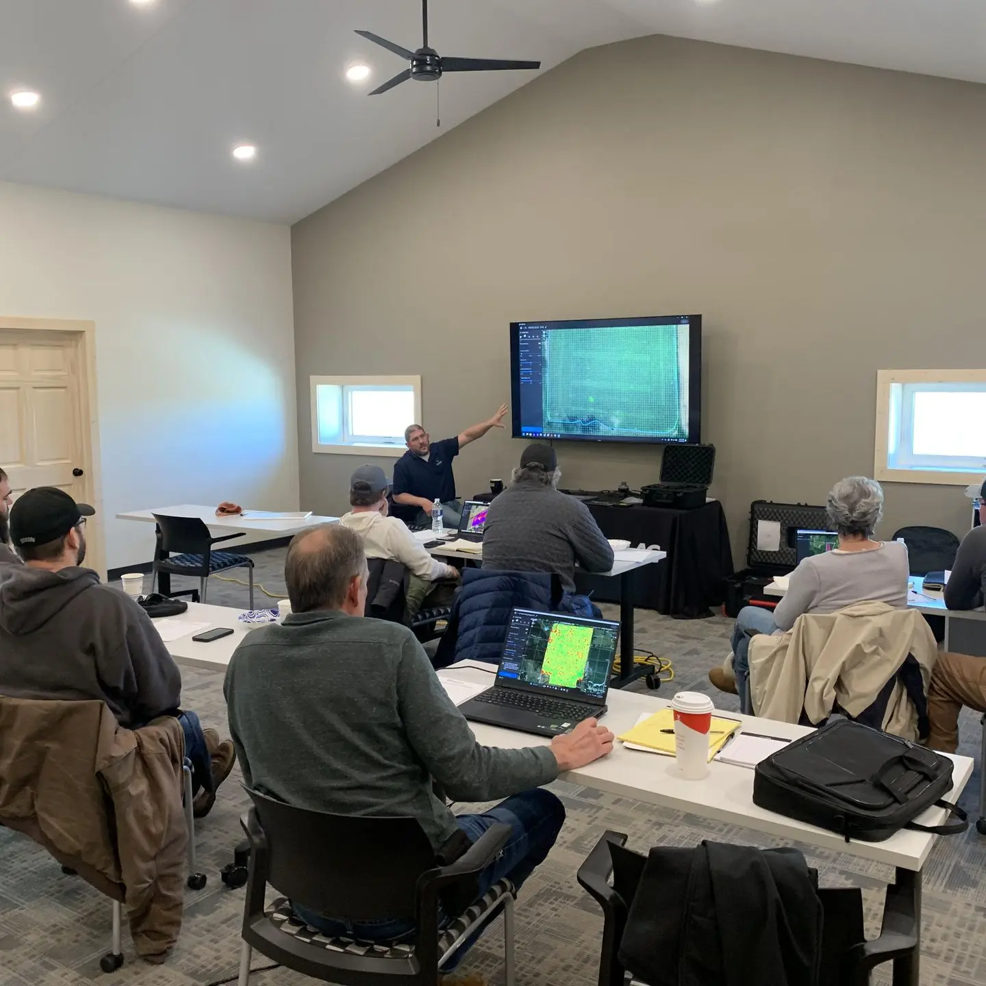
Formulated with over 10 years of experience, this class will offer a general instruction and training of the Pix4Dfields software. This software enables a wide variety of uses in agriculture to bring significant value to your farm!
Top reasons to attend:
- Map/digitize fields and enhance crop yields.
- Understand more about crop health, drones, and satellite imagery.
- Purchase or learn more about buying a mapping/camera drone.
- Purchase or learn more about Pix4Dfields software.
- Take your precision ag journey to the next level.
Key Objectives:
- Legal requirements
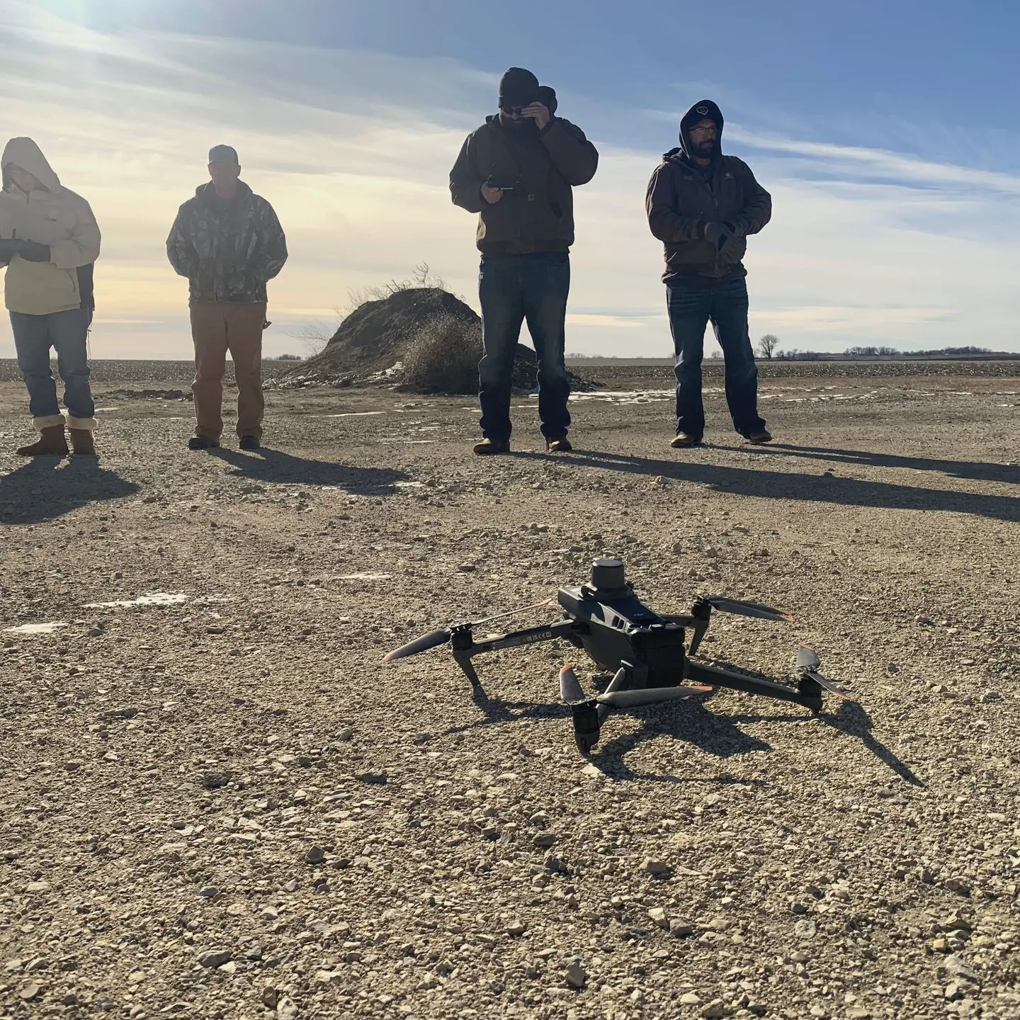
- What kinds of drones can be used to collect information
- What types of accuracy is needed for different applications
- Map a field at the field edge without internet
- Pull this/last years satellite data for maps
- Use Magic Tool to identify issues
- Create Variable Rate application maps
- Create Targeted Application Maps
- Create boundaries/obstacles
- Create PDF scouting reports
- Share map with a customer/family member/advisor
- Share to John Deere Operations account
- Export to spray drones
Want to learn more?
Send us a message to get more information.