
Mapping Drone Bootcamp - PIX4Dfields
Digitize your fields and take your precision ag program to the next level.
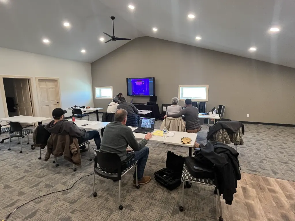
Formulated with over 10 years of experience, this class will offer a general instruction and training of the PIX4Dfields software. This software enables a wide variety of uses in agriculture to bring significant value to your farm!
Objectives to learn:
- Legal requirements
- What kinds of drones can be used to collect information
- What types of accuracy is needed for different applications
- Map a field at the field edge without internet
- Pull this/last years satellite data for maps
- Use Magic Tool to identify issues
- Create Variable Rate application maps
- Create Targeted Application Maps
- Create boundaries/obstacles
- Create PDF scouting reports
- Share map with a customer/family member/advisor
- Share to John Deere Operations account
- Export to spray drones
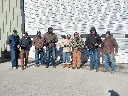
Attendees are encouraged to bring their license, mapping drones, computer equipment and adequate clothing for outside operation depending on the weather.
Call with any questions or issues!